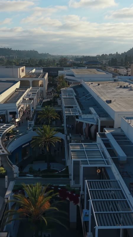
Nova Coast Media

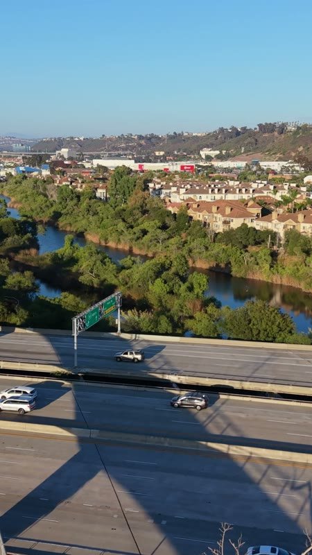
San Diego River and the Interstate 8 Bridge Beside Mission Valley Apartments – Aerial View (Vertical)
Mission Valley River
Aerial Drone Photo
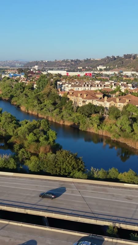
San Diego River and the Interstate 8 Bridge Beside Mission Valley Apartments – Elevated Perspective (Vertical)
Mission Valley River
Aerial Drone Photo
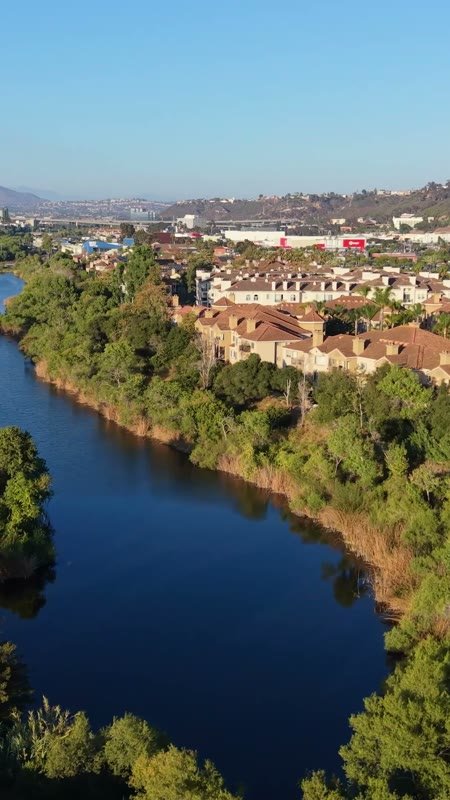
San Diego River and the Interstate 8 Bridge Beside Mission Valley Apartments – Wide Establishing Frame (Vertical)
Mission Valley River
Aerial Drone Photo
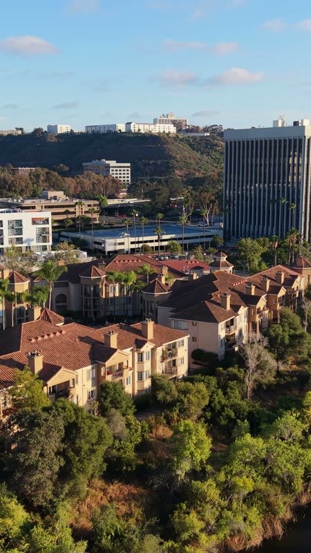
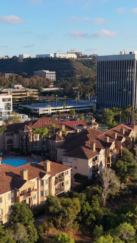
Riverside Mediterranean Apartments and Pool Along the San Diego River – Aerial View (Vertical)
Mission Valley River
Aerial Drone Photo
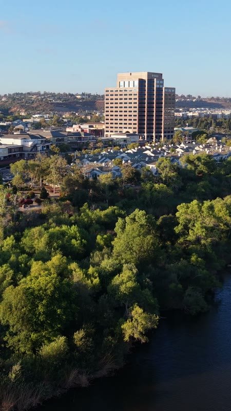
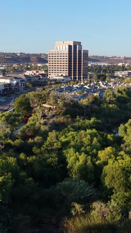
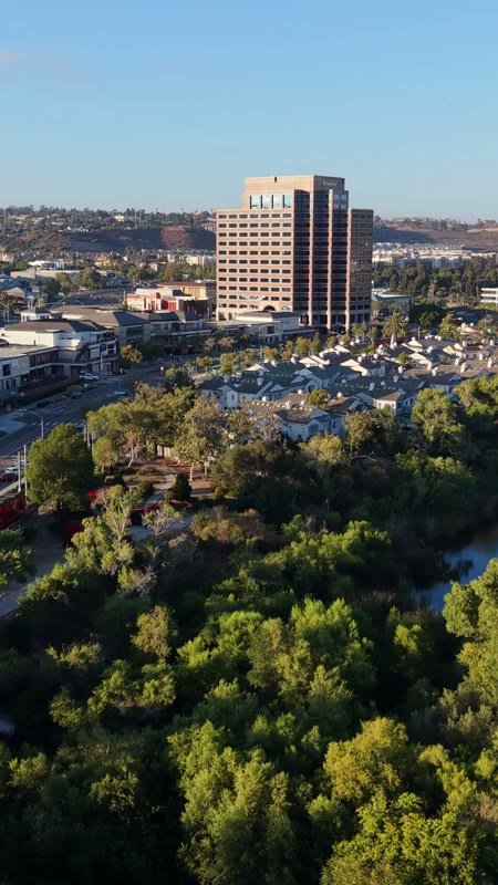
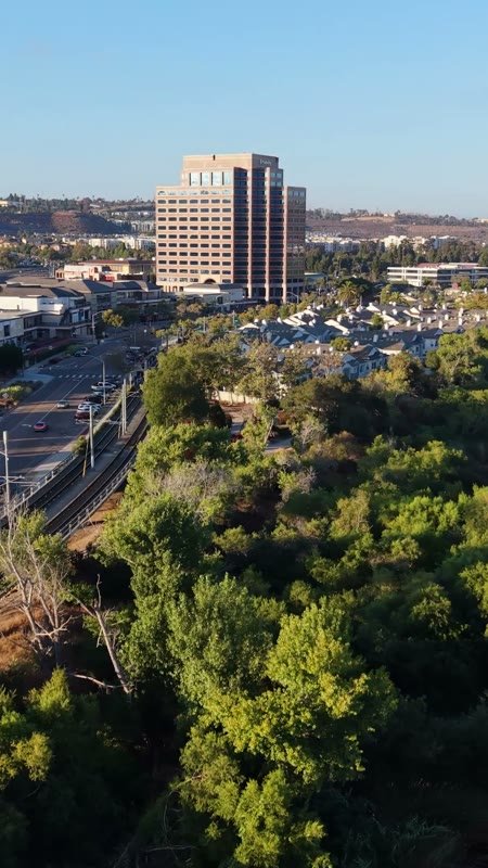
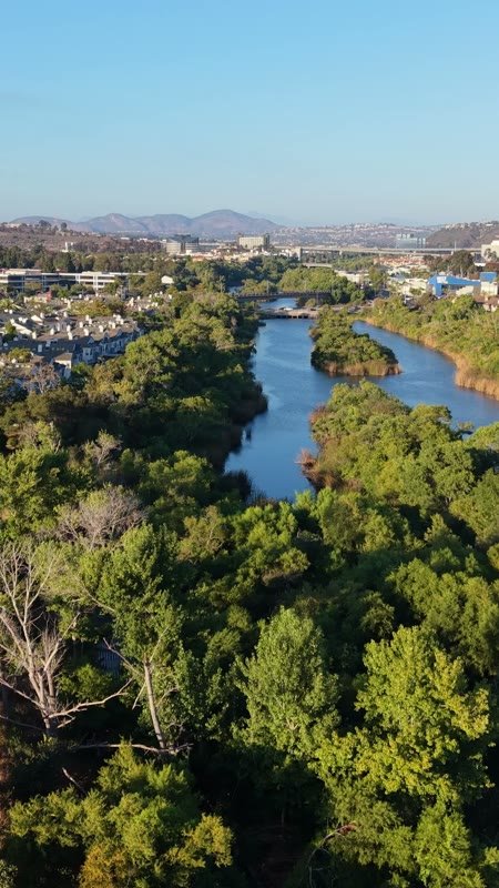
Lush San Diego River Bend Below the Mission Valley Skyline – Aerial View (Vertical)
Mission Valley
Aerial Drone Photo
Riverside Mediterranean Apartments and Pool Along the San Diego River – Elevated Perspective (Vertical)
Mission Valley River
Aerial Drone Photo
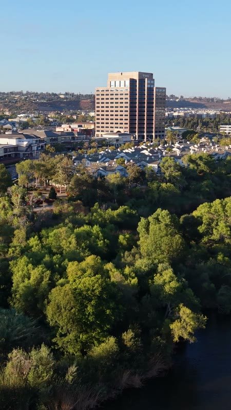
Lush San Diego River Bend Below the Mission Valley Skyline – Elevated Perspective (Vertical)
Mission Valley
Aerial Drone Photo
Lush San Diego River Bend Below the Mission Valley Skyline – Wide Establishing Frame (Vertical)
Mission Valley
Aerial Drone Photo
Mission Valley Hotel District and Trolley Along the San Diego River – Aerial View (Vertical)
Mission Valley
Aerial Drone Photo
Lush San Diego River Bend Below the Mission Valley Skyline – Overhead Detail (Vertical)
Mission Valley
Aerial Drone Photo
Mission Valley Hotel District and Trolley Along the San Diego River – Elevated Perspective (Vertical)
Mission Valley
Aerial Drone Photo
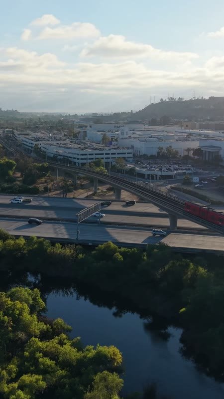
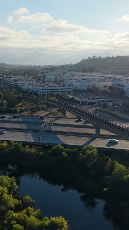
Trolley and Freeway Crossing the River Toward Mission Valley Mall at Sunset – Aerial View (Vertical)
Mission Valley River
Aerial Drone Photo
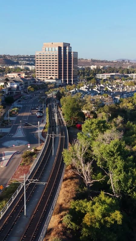
Lush San Diego River Bend Below the Mission Valley Skyline – Golden Hour Frame (Vertical)
Mission Valley
Aerial Drone Photo
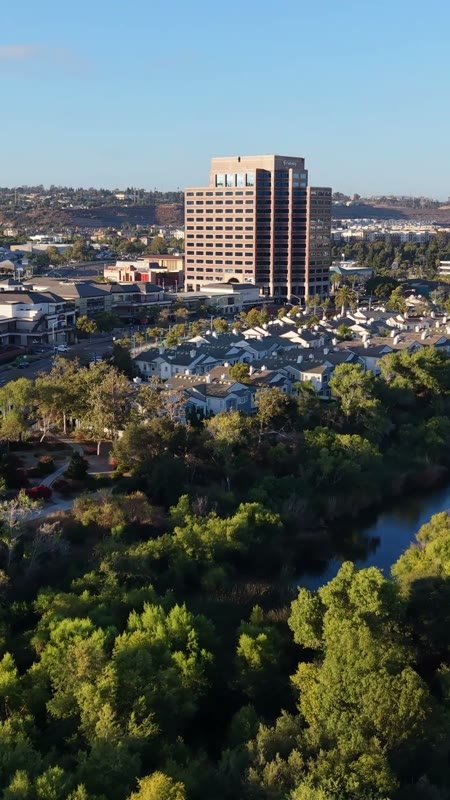
San Diego River Reflections Beside the Trolley Line and Office Tower – Aerial View (Vertical)
Mission Valley River
Aerial Drone Photo
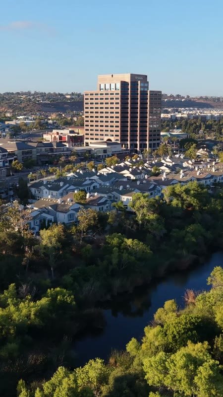
Mission Valley Hotel District and Trolley Along the San Diego River – Wide Establishing Frame (Vertical)
Mission Valley
Aerial Drone Photo
Trolley and Freeway Crossing the River Toward Mission Valley Mall at Sunset – Elevated Perspective (Vertical)
Mission Valley River
Aerial Drone Photo
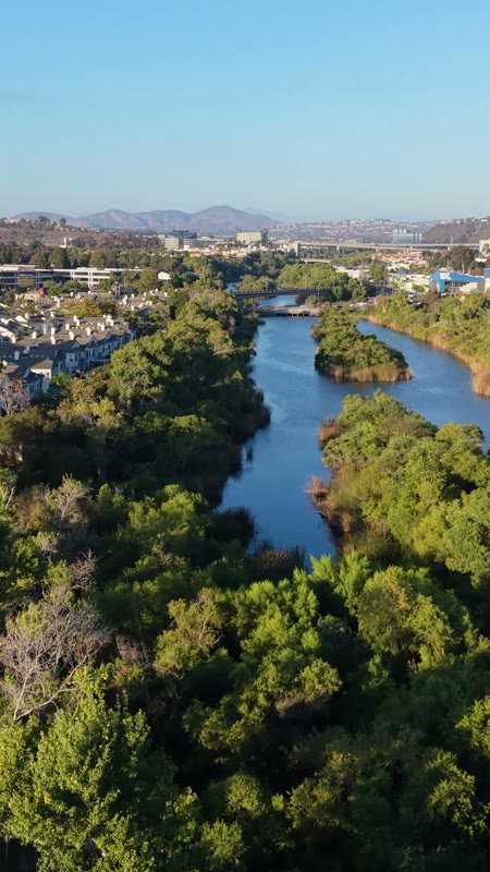
San Diego River Reflections Beside the Trolley Line and Office Tower – Elevated Perspective (Vertical)
Mission Valley River
Aerial Drone Photo
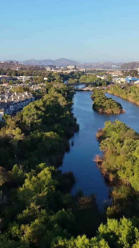
San Diego River Reflections Beside the Trolley Line and Office Tower – Wide Establishing Frame (Vertical)
Mission Valley River
Aerial Drone Photo
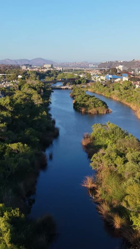
San Diego River Reflections Beside the Trolley Line and Office Tower – Overhead Detail (Vertical)
Mission Valley River
Aerial Drone Photo
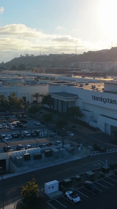
Aerial Approach to Bloomingdale’s at Fashion Valley Mall – Overhead Detail (Vertical)
Fashion Valley Mall
Aerial Drone Photo
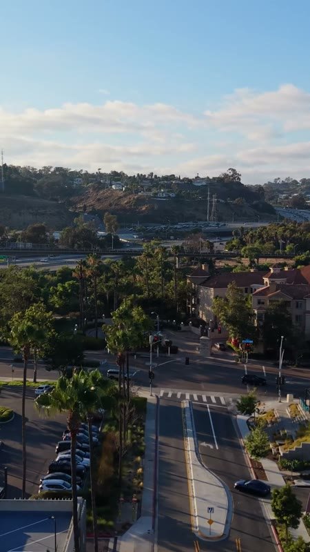
Mission Valley Streetscape with Apartments and Freeway Beyond at Morning – Wide Establishing Frame (Vertical)
Mission Valley
Aerial Drone Photo
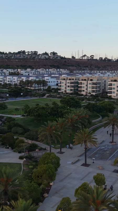
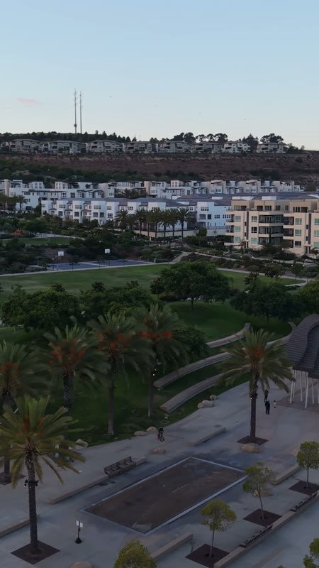
Civita Park Great Lawn and Flag Court Beside the Palm Promenade – Wide Establishing Frame (Vertical)
Civita
Aerial Drone Photo
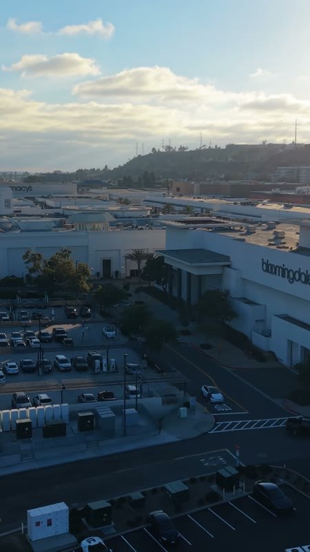
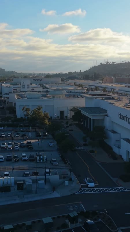
Aerial Approach to Bloomingdale’s at Fashion Valley Mall – Golden Hour Frame (Vertical)
Fashion Valley Mall
Aerial Drone Photo
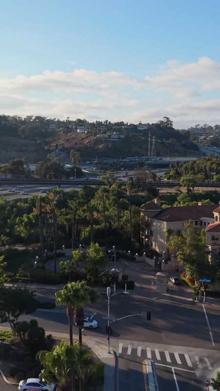
Mission Valley Streetscape with Apartments and Freeway Beyond at Morning – Overhead Detail (Vertical)
Mission Valley
Aerial Drone Photo
Civita Park Great Lawn and Flag Court Beside the Palm Promenade – Overhead Detail (Vertical)
Civita
Aerial Drone Photo
Aerial Approach to Bloomingdale’s at Fashion Valley Mall – High-Angle Panorama (Vertical)
Fashion Valley Mall
Aerial Drone Photo
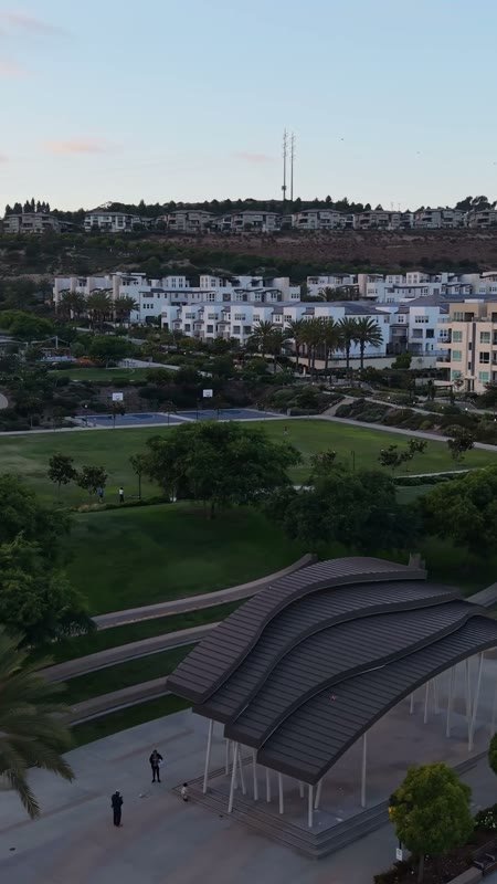
Civita Park Great Lawn and Flag Court Beside the Palm Promenade – Golden Hour Frame (Vertical)
Civita
Aerial Drone Photo
Aerial Approach to Bloomingdale’s at Fashion Valley Mall – Cinematic Drone Angle (Vertical)
Fashion Valley Mall
Aerial Drone Photo
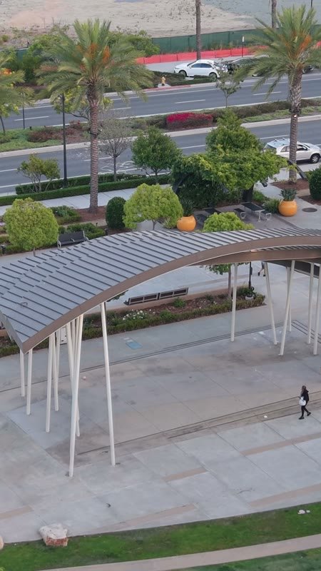
Architectural Detail of Civita Park’s Arched Canopy and Palm Plaza – Aerial View (Vertical)
Civita
Aerial Drone Photo
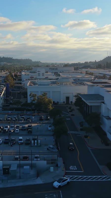
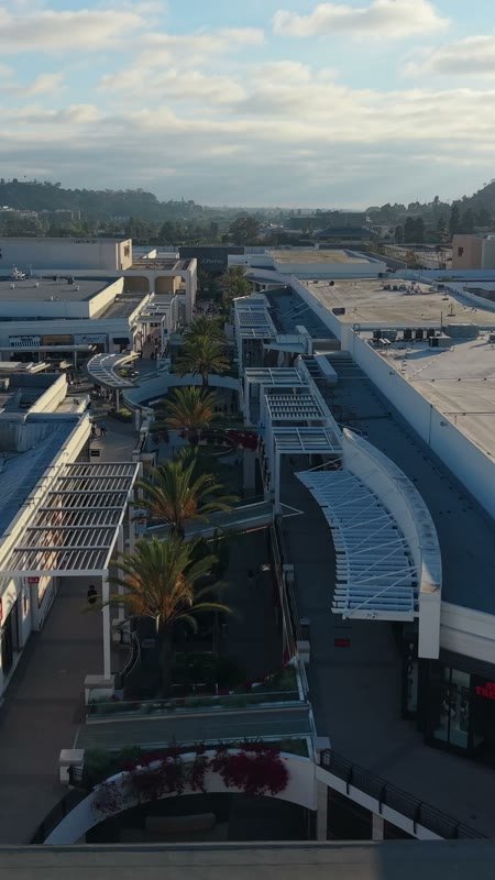
Open-Air Promenade Between Macy’s and Neiman Marcus at Fashion Valley – Aerial View (Vertical)
Fashion Valley Mall
Aerial Drone Photo
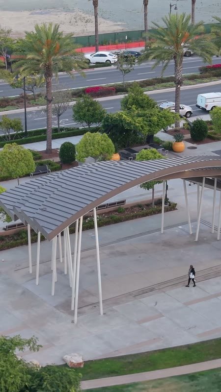
Architectural Detail of Civita Park’s Arched Canopy and Palm Plaza – Elevated Perspective (Vertical)
Civita
Aerial Drone Photo
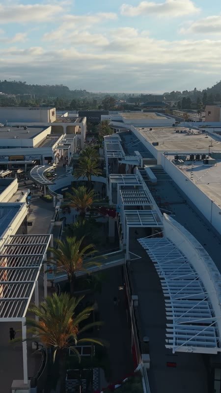
Open-Air Promenade Between Macy’s and Neiman Marcus at Fashion Valley – Elevated Perspective (Vertical)
Fashion Valley Mall
Aerial Drone Photo
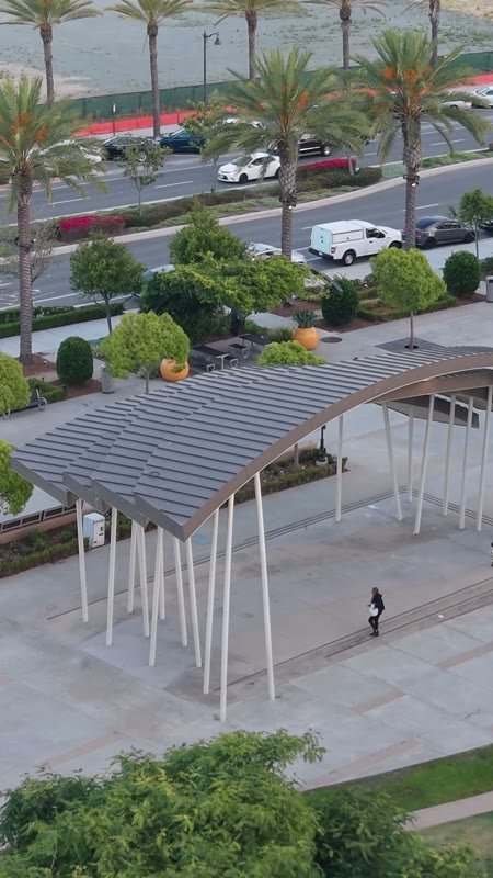
Architectural Detail of Civita Park’s Arched Canopy and Palm Plaza – Wide Establishing Frame (Vertical)
Civita
Aerial Drone Photo
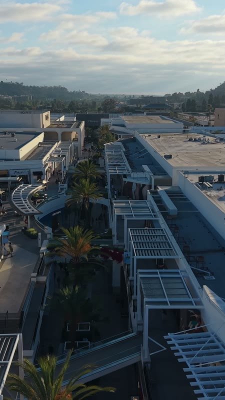
Open-Air Promenade Between Macy’s and Neiman Marcus at Fashion Valley – Wide Establishing Frame (Vertical)
Fashion Valley Mall
Aerial Drone Photo
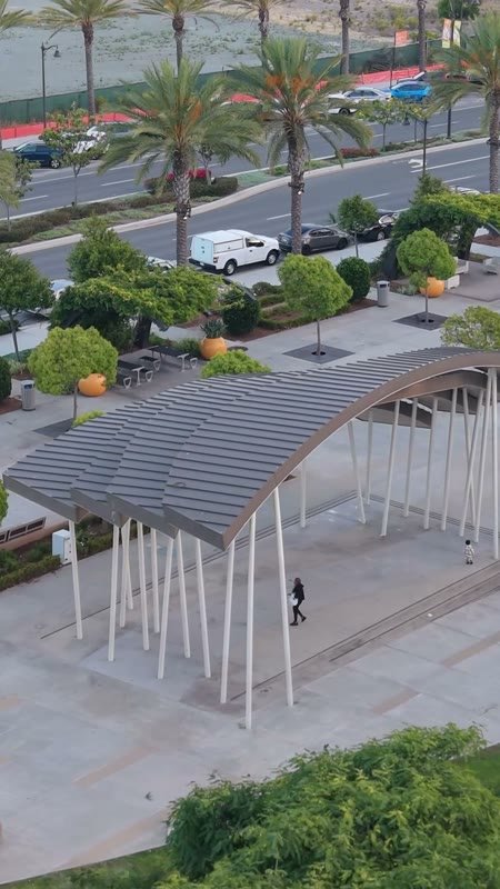
Architectural Detail of Civita Park’s Arched Canopy and Palm Plaza – Overhead Detail (Vertical)
Civita
Aerial Drone Photo
Open-Air Promenade Between Macy’s and Neiman Marcus at Fashion Valley – Overhead Detail (Vertical)
Fashion Valley Mall
Aerial Drone Photo

Hi there! Have a question? Chat with us.