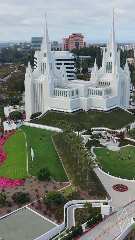
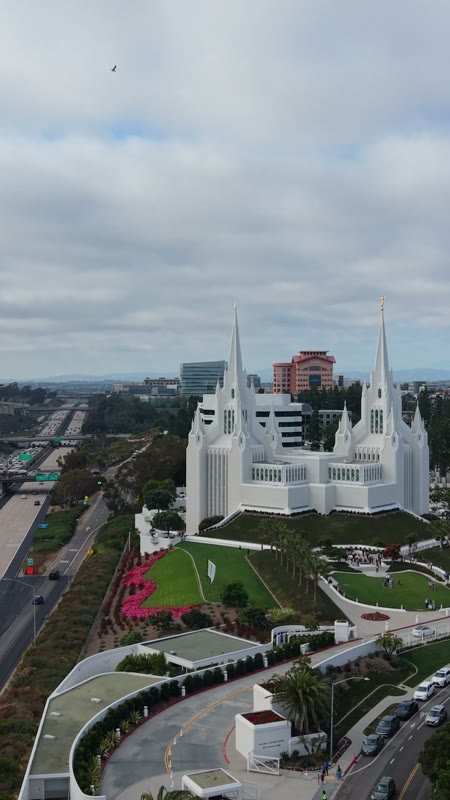
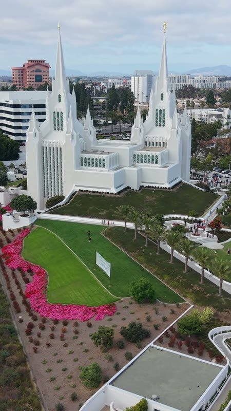
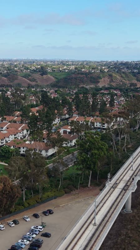
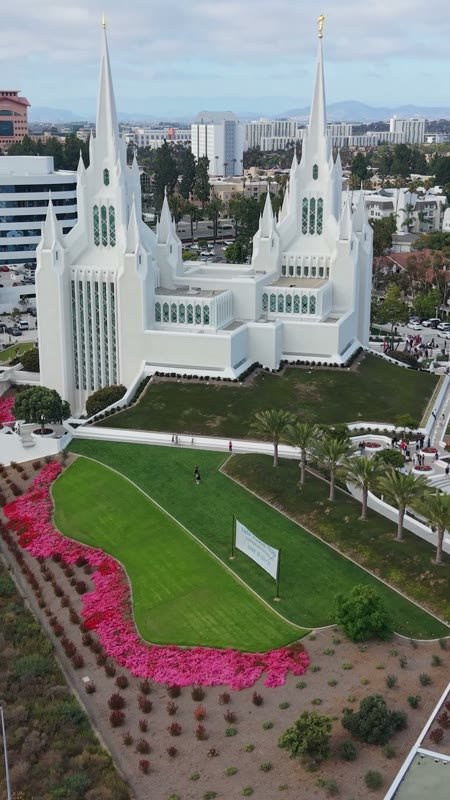
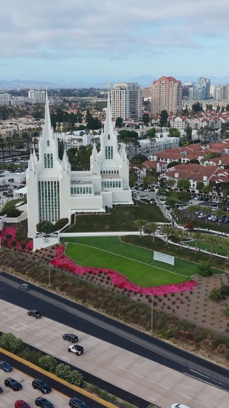
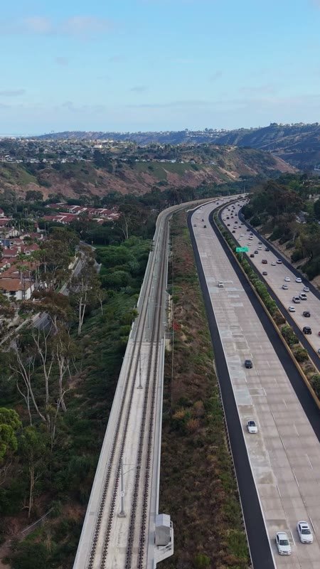
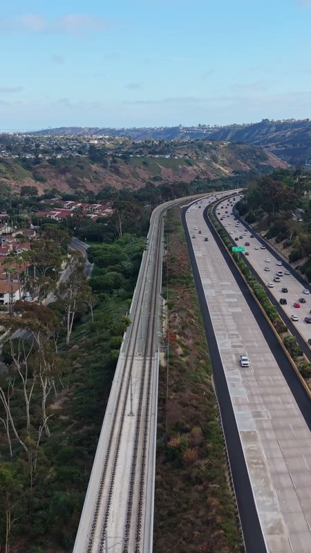
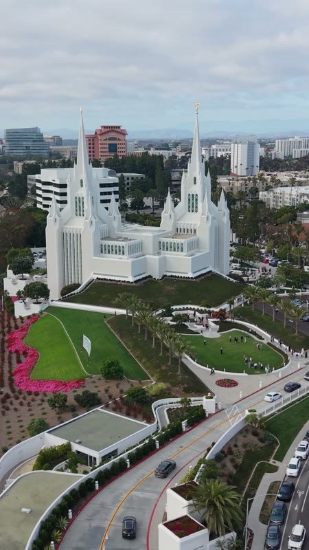
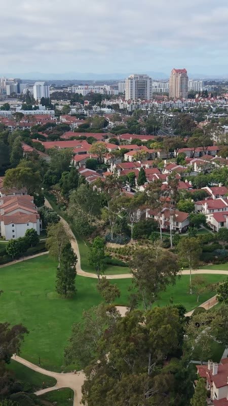
San Diego California Temple
Aerial Drone Photo
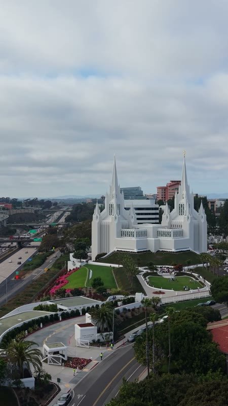
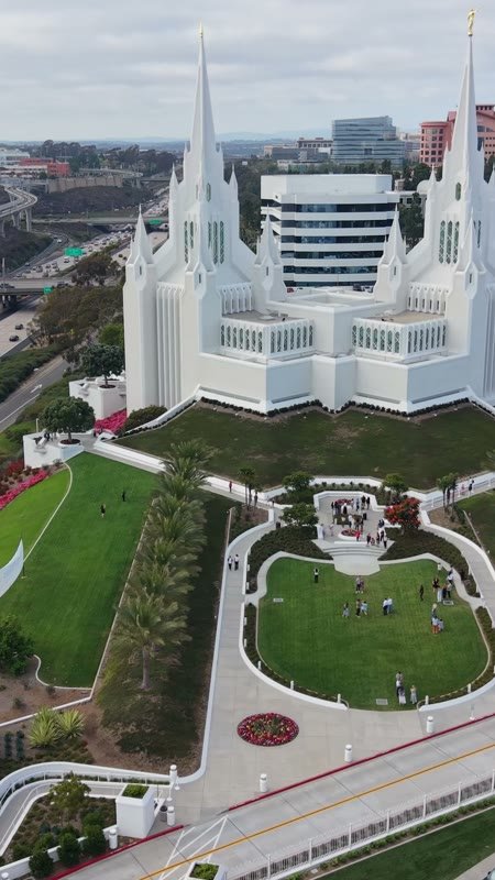
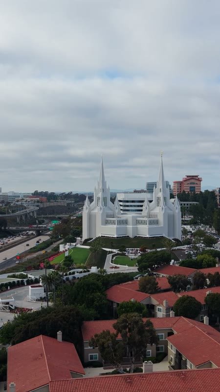
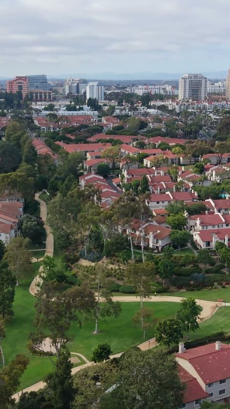
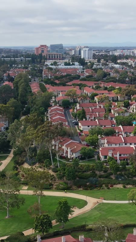
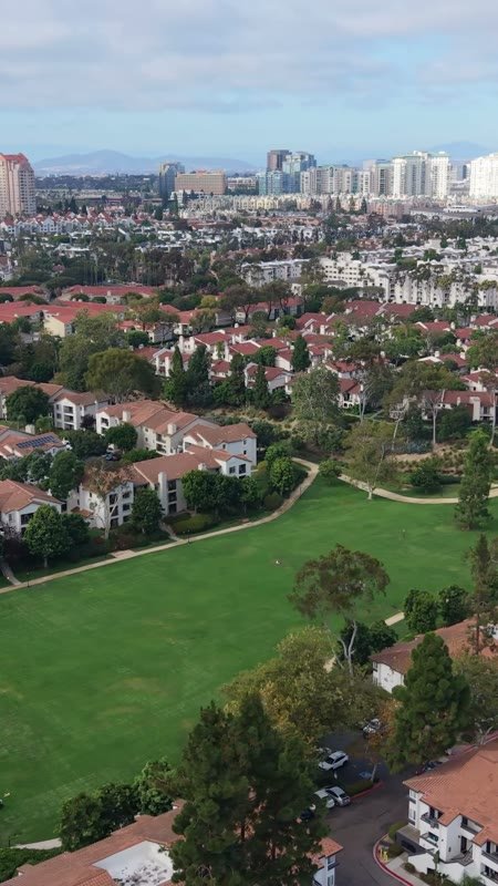
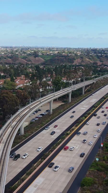
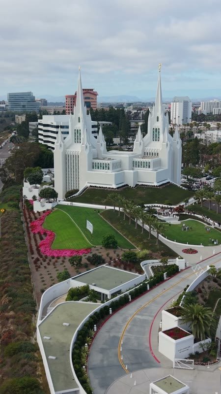
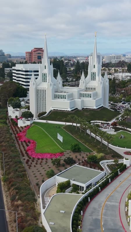
San Diego California Temple
Aerial Drone Photo
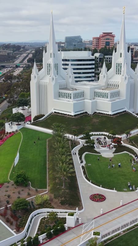
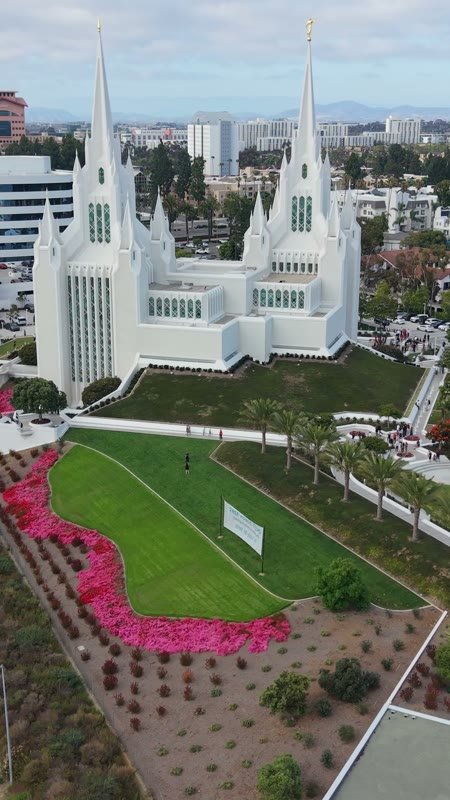
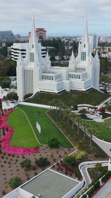
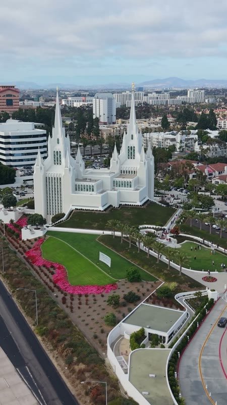
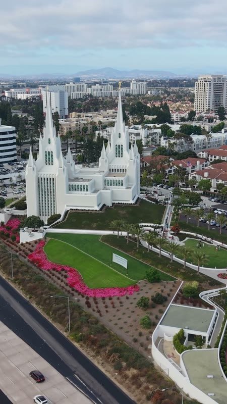
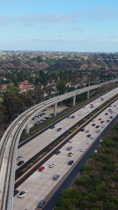
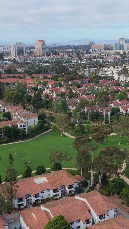
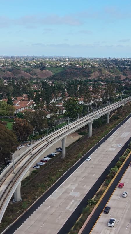
San Diego California Temple
Aerial Drone Photo
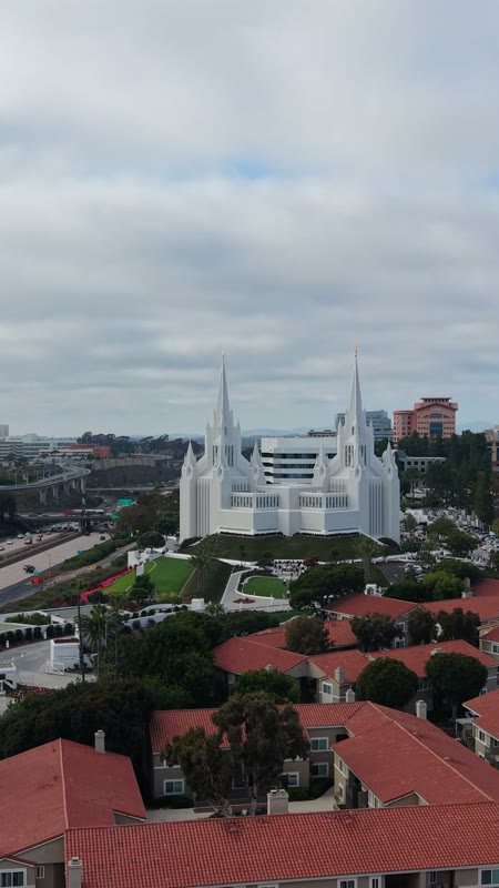
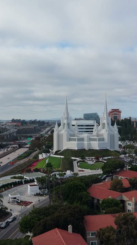
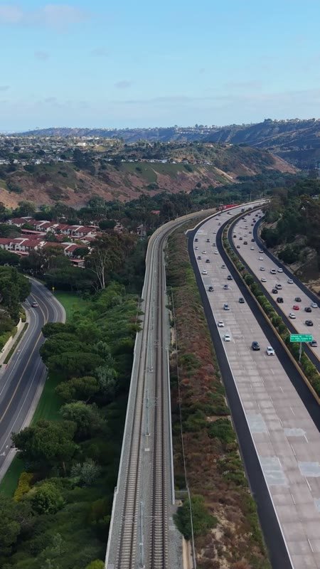
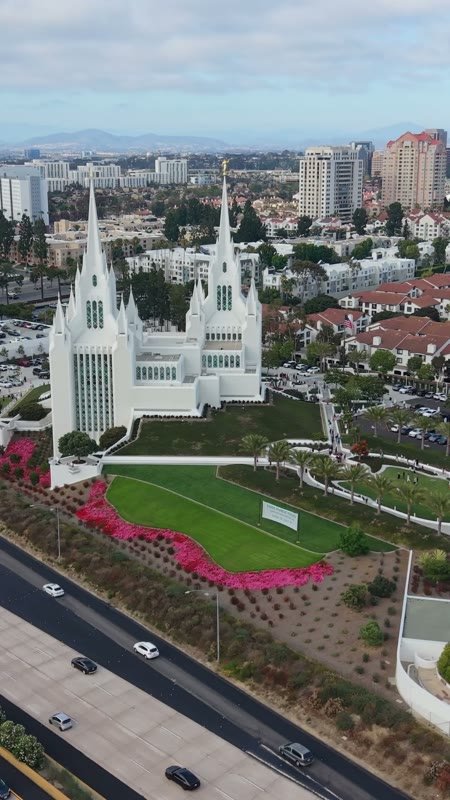
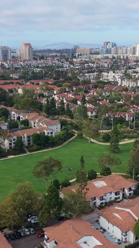
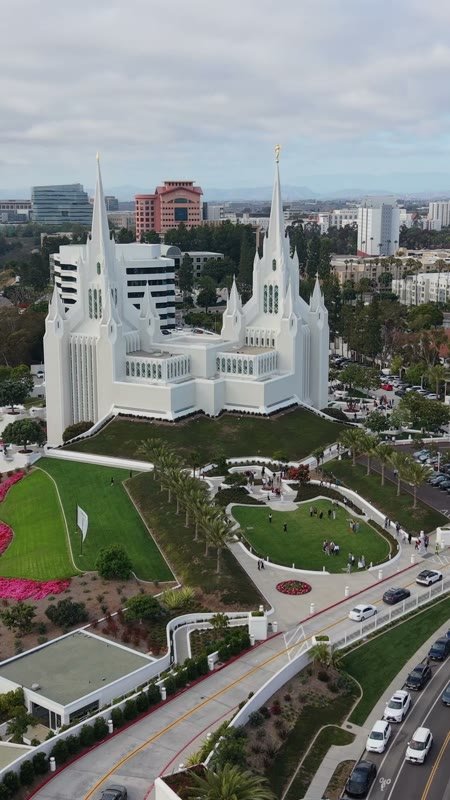
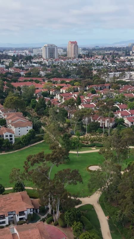
San Diego California Temple
Aerial Drone Photo
San Diego California Temple
Aerial Drone Photo
San Diego California Temple
Aerial Drone Photo
San Diego California Temple
Aerial Drone Photo
San Diego California Temple
Aerial Drone Photo
San Diego California Temple
Aerial Drone Photo
San Diego California Temple
Aerial Drone Photo
San Diego California Temple
Aerial Drone Photo
San Diego California Temple
Aerial Drone Photo
San Diego California Temple
Aerial Drone Photo
San Diego California Temple
Aerial Drone Photo
San Diego California Temple
Aerial Drone Photo
San Diego California Temple
Aerial Drone Photo
San Diego California Temple
Aerial Drone Photo
San Diego California Temple
Aerial Drone Photo
San Diego California Temple
Aerial Drone Photo
San Diego California Temple
Aerial Drone Photo
San Diego California Temple
Aerial Drone Photo
San Diego California Temple
Aerial Drone Photo
San Diego California Temple
Aerial Drone Photo
San Diego California Temple
Aerial Drone Photo
San Diego California Temple
Aerial Drone Photo
San Diego California Temple
Aerial Drone Photo
San Diego California Temple
Aerial Drone Photo
San Diego California Temple
Aerial Drone Photo
San Diego California Temple
Aerial Drone Photo
San Diego California Temple
Aerial Drone Photo
San Diego California Temple
Aerial Drone Photo
San Diego California Temple
Aerial Drone Photo
San Diego California Temple
Aerial Drone Photo
San Diego California Temple
Aerial Drone Photo
San Diego California Temple
Aerial Drone Photo
San Diego California Temple
Aerial Drone Photo